

Tatra National Park, on the edge of Zakopane in southern Poland, offers trail routes from access points including Kuźnice, Palenica Białczańska and Dolina Strążyska. To plan a visit from Zakopane, first match a route’s distance and walking time to your day, then check the current bus and park access information.
- Location: Tatra Mountains, next to Zakopane.
- Access points: Kuźnice and Palenica Białczańska have municipal bus connections from Zakopane.
- Tickets and conditions: Check the park’s official information for current entry, access and trail conditions.
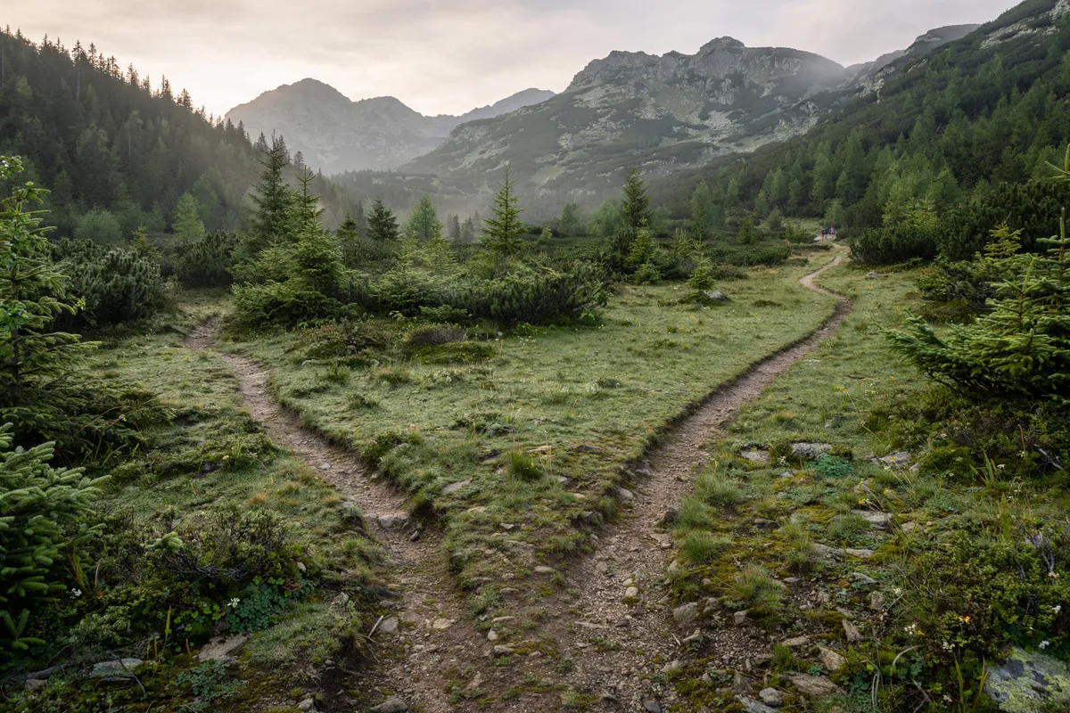
Choose a park entrance and trail area
Tatra National Park’s route information covers different valleys and mountain areas, so choose your trail before deciding how to get there. The park’s route details include distances and estimated walking times.
Palenica Białczańska to Morskie Oko
The Palenica Białczańska–Morskie Oko walk is 11.60 km, with an estimated 4 hours uphill and 1 hour 30 minutes downhill. The route leads to Morskie Oko; find practical details in this guide to getting from Zakopane to Morskie Oko.
Kuźnice to Polana Kondratowa
The route from Kuźnice through Polana Kalatówki to Polana Kondratowa is 7.00 km, with an estimated uphill time of 3 hours 15 minutes. It starts in a different area from the Palenica Białczańska route.
Dolina Strążyska circuit to Wielka Krokiew
The route from Dolina Strążyska via Polana Strążyska, Siklawica, Sarnia Skała and Dolina Białego to Wielka Krokiew covers 8.20 km. The estimated times are 2 hours uphill and 1 hour 30 minutes downhill. The Chochołowska Valley walk from Zakopane provides another valley route to consider.
How do you get from Zakopane to the trailheads?
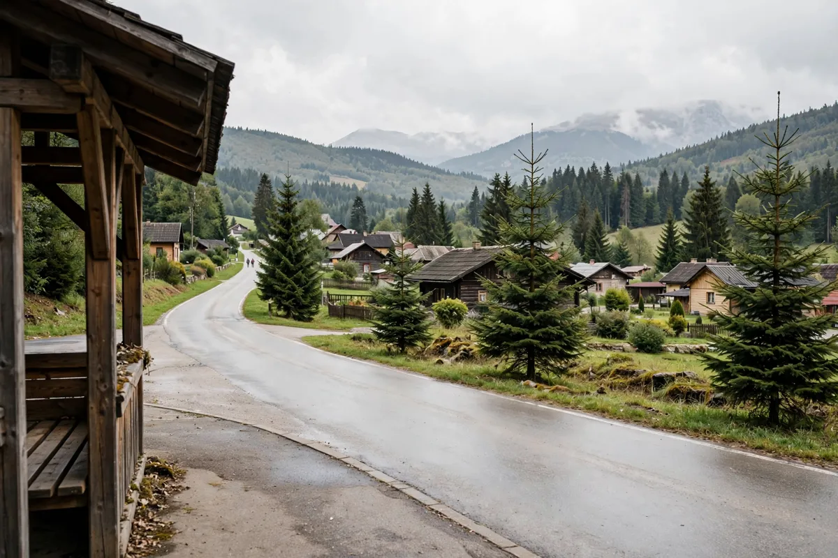
Municipal buses serve access points including Kuźnice and Palenica Białczańska, with the route depending on your chosen trail. Tatra National Park is about 5 km from Willa 14, a bed and breakfast in Zakopane; that distance does not identify a particular trailhead.
The municipal destination for Kuźnice is 9 Kuźnice, 34-500 Zakopane. A municipal bus route serves Kuźnice via Aleje 3 Maja, Zamoyskiego, Chałubińskiego Rondo and Murowanica. Check the municipal timetable for current service details before you travel.
For Palenica Białczańska, municipal routes run via Cyrhla, Brzeziny, Wierch Poroniec and Łysa Polana, or via Poronin, Bukowina Klin, Wierch Poroniec and Łysa Polana. Choose the route that matches your departure point and check the timetable for the day of your visit. The guide to Zakopane station and local transport covers local connections.
Entry fees, rules and trail conditions
Confirm entry arrangements and trail access with Tatra National Park before setting out. Check TPN’s current information for entrance fees, ticket purchase options and access conditions.
Look for current closures and notices before leaving Zakopane. A route’s distance and estimated walking time do not confirm that it is open on the day you plan to walk.
Plan for weather, daylight and mountain safety
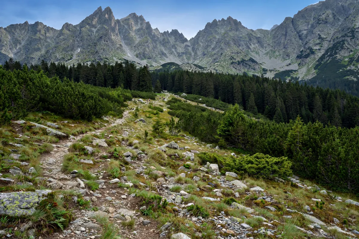
Check current weather, daylight and safety notices before choosing a trail and heading into the mountains. Tatra National Park’s official information can help you verify conditions that may affect access or your route.
Use the uphill and downhill estimates to plan your time, and check current park notices before you go. For the Morskie Oko route, the estimates add up to 5 hours 30 minutes of walking in both directions; actual conditions may affect your day.
Before you go: Check the official site before you go, including Tatra National Park’s current trail and access information and Zakopane’s municipal bus timetable.
FAQs
Which Tatra National Park route is the shortest of these options?
The Kuźnice–Polana Kalatówki–Polana Kondratowa route covers 7.00 km.
Can you take a bus from Zakopane to Kuźnice?
Yes. A municipal bus route serves Kuźnice via several stops in Zakopane.
How long does the walk to Morskie Oko take?
The estimated walking times are 4 hours uphill and 1 hour 30 minutes downhill.